Guest Blog: LUNAR Aerial Imaging
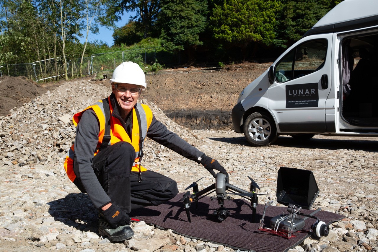
LUNAR Aerial Imaging provides compelling drone aerial footage and stills for property and construction companies to increase brand awareness and sales.
Led by our MD and lead drone pilot, Greg Chivers, we have been flying and filming with drones for over seven years and have recently gained our enhanced OSC CAA permission putting us in the top 2% of skilled drone pilots authorised to fly closer to people and buildings, highly advantageous for working in congested areas.

In recent years property and construction companies have become increasingly aware of the multiple benefits of drones. It has now become standard practice for drone imagery to be commissioned at multiple stages of the project:
Showing the views at the planning stage:
We consult the plans, set our GPS for the height, position and the outlook. We fly up and down all sides of the yet to be realised building to show stakeholders the views from each floor level.
CGI
The drone stills and videos are then provided to creative agencies for CGIs, 3D models and virtual tours, the up-to-date way to showcase a property before the first turf has even been cut.
Showcasing the location:
The aerial vantage shows the surrounding area and special features, be they public transport links, local facilities, and other points of interest to prospective buyers, or the outdoor pool and sheep grazing in the neighbouring meadows.
Monitoring progress:
Several of our clients commission monthly drone photographs and videos be used to monitor progress, identify problems, and for communicating with all the stakeholders.
Surveys and inspections:
Detailed overall pictures showing the lay of the land or views of hard to reach places such as high buildings, gutters, flat roofs, chimneys, skylights, and damaged structures. At Lunar we can tie the images together in an easy to read format, using 3D software and photogrammetry.
Keeping the workspace safe:
Drones are used to minimise risk for safety assessments and workflow surveys such as initial surveys of elevated and dangerous places e.g. bridges, mines, towers and steeples. You can also be comfortable in the knowledge that we strictly follow the CAA guidelines and that safety and efficiency is paramount to Lunar Aerial Imaging.
Time-lapse cameras:
Lunar also offers the installation and maintenance of time-lapse cameras allowing clients to view real time progress from the comfort of their office desk; the time lapse interval is specified by the client - anything from every 15 minutes to once a day.
We are excited to have the opportunity to use our drones to showcase Manchester at MIPIM. In the meantime, to find out more about Lunar Aerial Imaging please check out our showreel at www.lunar-ai.com and email us office@lunar-ai.com.